
Research · September 9, 2026
A Pathify lab is rewriting how coastal cities plan for water
By Dr. Adaeze Nwankwo, Professor of Civil & Environmental Engineering. Six departments, one flood model, and eleven municipalities now planning around it.
The problem
Why existing models did not fit
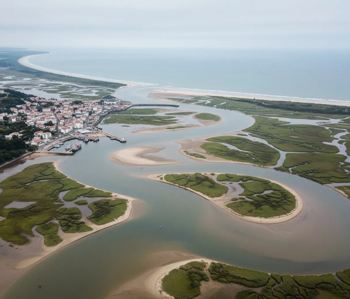
Municipal planners on the delta had access to flood models, but not ones they could run. The available tools assumed computing resources, licensing budgets and specialist staff that a county planning office of six people does not have.
The Pathify group began in 2022 by asking what those offices could actually operate. That constraint shaped the work more than any modelling decision did: the model had to run on ordinary hardware and produce output a non-specialist could defend in a public meeting.
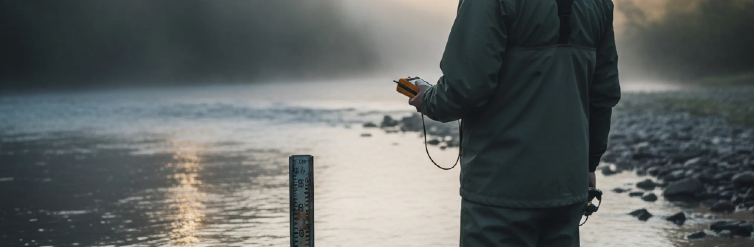
Four years of fieldwork followed, measuring how storm surge and rainfall interact where the river meets the coast. The interaction is the part conventional models handle worst, and it is the part that determines which streets flood.
How it was built
Six departments and four years
The project drew on six departments before it was finished. Civil and environmental engineering led it, with hydrology and computing contributing the modelling work, and public policy shaping how the outputs were presented.
That breadth was not planned at the outset. Each addition followed a problem the group could not solve alone: the computing department joined when the runtime proved unworkable, and public policy joined when early outputs turned out to be technically correct and practically unusable in a council meeting.
Eleven municipalities have since written the model into their planning processes. Several of them contributed gauge readings during the fieldwork, which is part of why adoption followed as quickly as it did.
The people behind the work

Dr. Adaeze Nwankwo
Professor of Civil & Environmental Engineering
Led the project from 2022 and wrote this account. Her group continues to maintain the model for the municipalities using it.
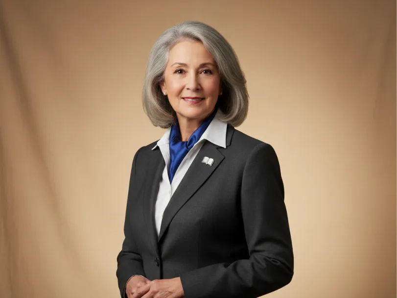
Dr. Sung-min Park
Dean, College of Engineering & Computing
Leads the college the project ran from, and brought the computing department in when runtime became the binding constraint.
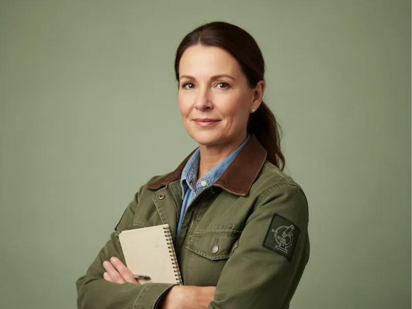
Dr. Helen Vasquez
Professor of Biology
Contributed wetland and water-quality data gathered through the long-running field monitoring programs she directs.
The project in numbers
6
Departments involved
Led by Civil & Environmental Engineering
11
Municipalities using the model
Written into their planning processes
4
Years of fieldwork
Beginning in 2022
$412M
University research expenditure
Annual, across all eight colleges
R1
Carnegie classification
Very High Research Activity